
Geospatial Intelligence
Geospatial Intelligence
Advanced GIS mapping and terrain analysis providing tactical situational awareness for complex operations.
Discuss Geospatial Intelligence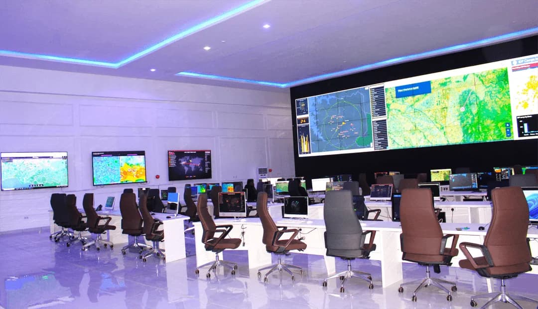
Story Maps - Intelligence in Context
Interactive Story Maps bring timelines, incident patterns and response actions into a clear visual narrative. They help commanders understand what happened, where it happened and why it matters, while supporting briefings, training and stakeholder communication.
Live Dashboards - One View of the Situation
GIS dashboards consolidate surveillance feeds, patrol data, alerts and resources. Analysts can monitor hotspots, asset deployment, response times, coverage gaps and active threats through a shared live view.
Topographic Mapping - Understand the Terrain
EIB STRATOC has produced detailed topographic maps with contour data for key Local Government Areas in Plateau State, including Bassa, Qua'an Pan, Barkin Ladi, Riyom and Mangu, where its camps are located. These maps reveal elevation, slopes, access routes and natural barriers.
Camp Planning
In the field
Identify high ground, drainage patterns and access points.
Patrol Routing
In the field
Use terrain information to support safer, more efficient route planning.
Risk Assessment
In the field
Assess potential ambush locations, flood zones and movement corridors.
Location. Activity. Context.
By combining Story Maps, live dashboards and terrain analysis, we help teams connect location, activity and operational context.
Put intelligence to work