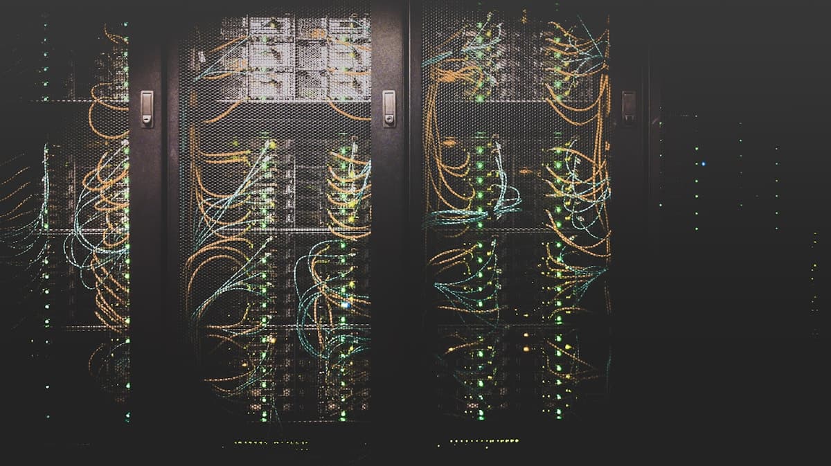
Intelligent Surveillance
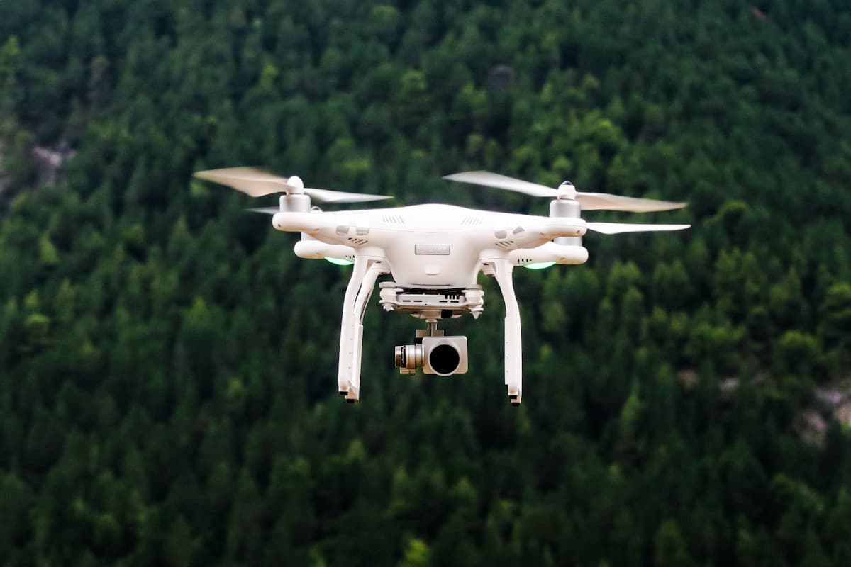
Next-gen CCTV & drone surveillance systems integrated with behavioral analytics for proactive threat detection.
Explore Intelligent Surveillance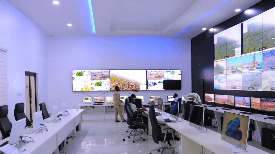

Integrated Capabilities
EIB STRATOC combines surveillance, analysis, communications and operational support to help teams understand threats, protect assets and act on reliable information.
Next-gen CCTV & drone surveillance systems integrated with behavioral analytics for proactive threat detection.
Explore Intelligent SurveillanceAdvanced GIS mapping and terrain analysis providing tactical situational awareness for complex operations.
Explore Geospatial Intelligence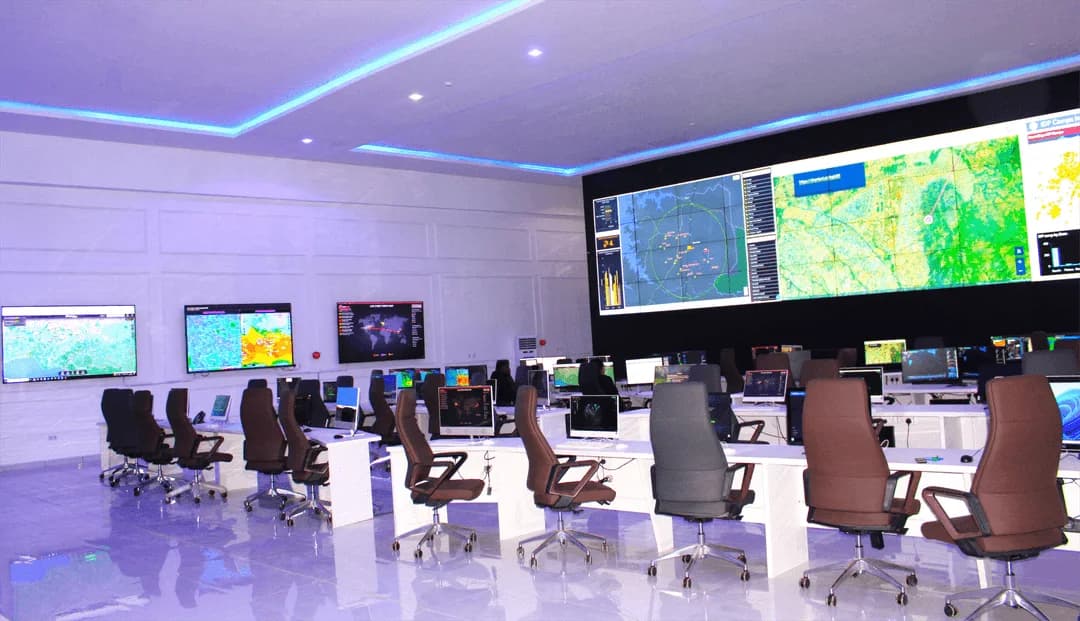
Military-grade cybersecurity infrastructure protecting critical national assets from digital warfare and espionage.
Explore Cyber Defense Grid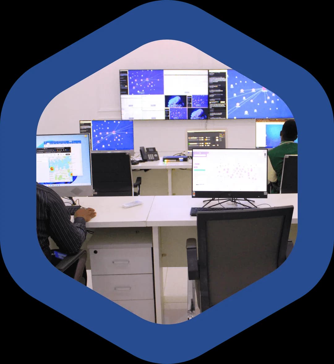
Real-time high-resolution satellite imagery for border monitoring and asset tracking across the continent.
Explore Satellite Reconnaissance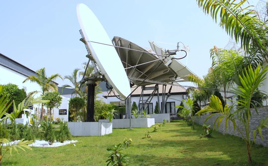
AI-driven data modelling that forecasts security trends and potential breaches before they occur.
Explore Predictive Analytics
Centralized fusion centers ensuring seamless communication and coordination during critical missions
Explore Command & Control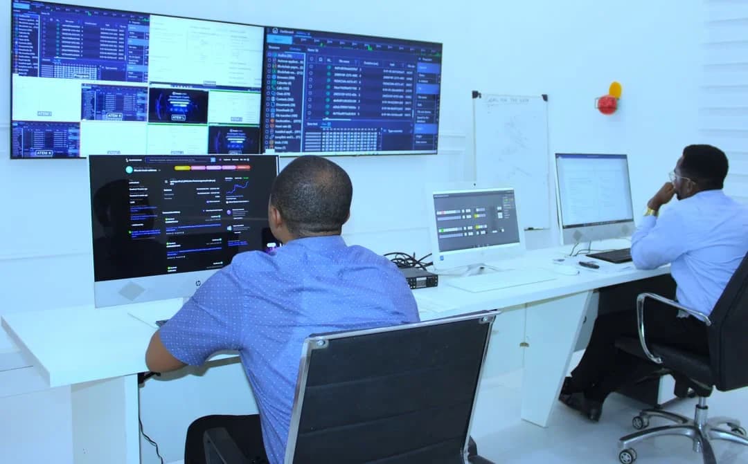
Bring together information from UAV surveillance, satellite imagery, video systems, field reports, intelligence sources and sensor networks.
Correlate information, identify anomalies and assess threats, risks and operational conditions within the Intelligence Fusion Centre.

Present intelligence through GIS mapping, live dashboards and a shared command environment so teams can understand the operating picture.

Deliver intelligence reports and operational updates, share alerts and support coordination between decision makers and personnel in the field.